1800–1850
This area (territory ceded to Sulu by Brunei) had been effectively controlled by the Sultanate of Bulungan in Kalimantan, reducing the boundary of Sulu to a cape named Batu Tinagat and Tawau River. (United Nations Publications)
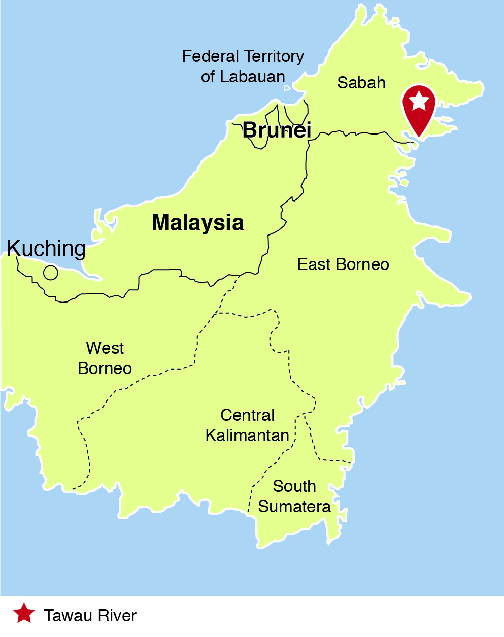
Map showing Tawau river and Kalimantan.
(c) http://www.quezon.ph/2013/03/01/north-borneo-sabah-an-annotated-timeline-1640s-present/
Map showing Tawau river and Kalimantan.
(c) http://www.quezon.ph/2013/03/01/north-borneo-sabah-an-annotated-timeline-1640s-present/
No comments:
Post a Comment